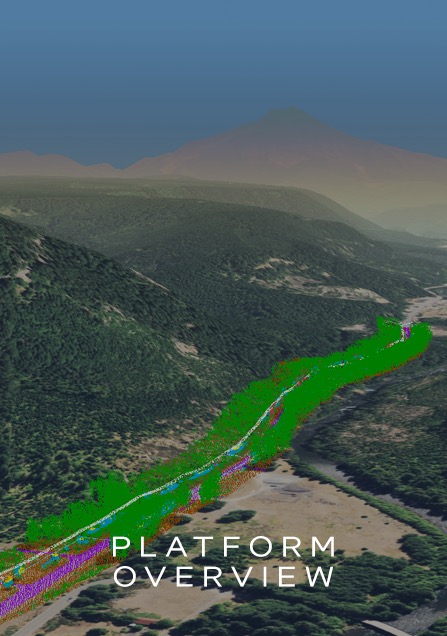
AerialZEUS
Innovative remote sensing & geographic information systems solutions for design-build projects, BIM & environmental compliance.
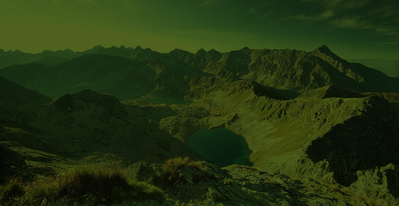
Satellite imagery, True color. SDG&E wildfire mitigation project
Innovative remote sensing & geographic information systems solutions for design-build projects, BIM & environmental compliance.
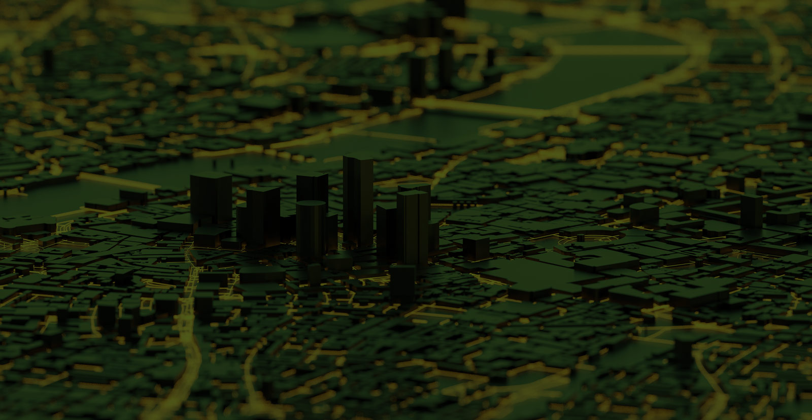
Geographic Information Systems
AerialZeus addresses client objectives through the use of remote sensing technologies & GIS (Geographic Information Systems) methodologies, by capturing and managing heterogeneous data from satellites, manned aircraft, drones, and terrestrial scanners.
Innovative Integrated Workflows
AerialZeus’ workflows integrate innovative ways to capture and analyze data from sources such as smart devices, cloud-based GIS applications, terrestrial and aerial sensors, drones, and satellite multispectral imagery. AerialZeus deploys cutting-edge technologies to process this data in service of insights from multiscale analysis applied to client requirements.
Insights from Pixels Analysis
AerialZeus’ expertise lies in the analysis of pixels from such sources as high-resolution cameras, multispectral, LiDAR, and thermal sensors, to determine patterns on images. Appropriate remote sensing technologies can be applied at different scales. “Macro” or large-scale applications enable the efficient collection of data over large geographies. Where more detailed or “close-in” analysis is required, technologies are chosen to support those results.
SERVICES AND CAPABILITIES
Infrastructure-Based Solutions
Nature-Based Solutions
Aerialzeus works with these fine companies
Certifications and Licenses
Certifications and Licenses
- DBE-Caltrans (No. 42960)
- SB-DGS, Supplier (No. 1785503)
- MBE-CPUC (No.16000041)
- LGBTE-Certification (No. 11993)
- SEED-SMUD
- CEQA
North American Industry Classification System:
- 541330-Engineering Services
- 541360-Mapping Services
- 541370-Surveying and Mapping
- 541620-Environmental Consulting
- 541922- Commercial Photography